
Henro-Trail-Guide-Kochi-Japan_35-36
Self-guided Henro Trail Walking (35th temple - 36th temple)
Henro is the term for the Shikoku Pilgrimage to 88 sacred temples dotted around the island of Shikoku, where it is said that the Buddhist monk Kobo Daishi (Kukai) performed ascetic religious practices. The pilgrimage road stretches over 1200km through all four prefectures on the island. The whole journey can take a month or two on foot, but pilgrims can also make the journey in part because there are no strict rules on which temples to visit or how many in total. Anyone can be a pilgrim (ohenro-san) regardless of nationality or religion, and all are sure to receive a warm welcome from the locals.
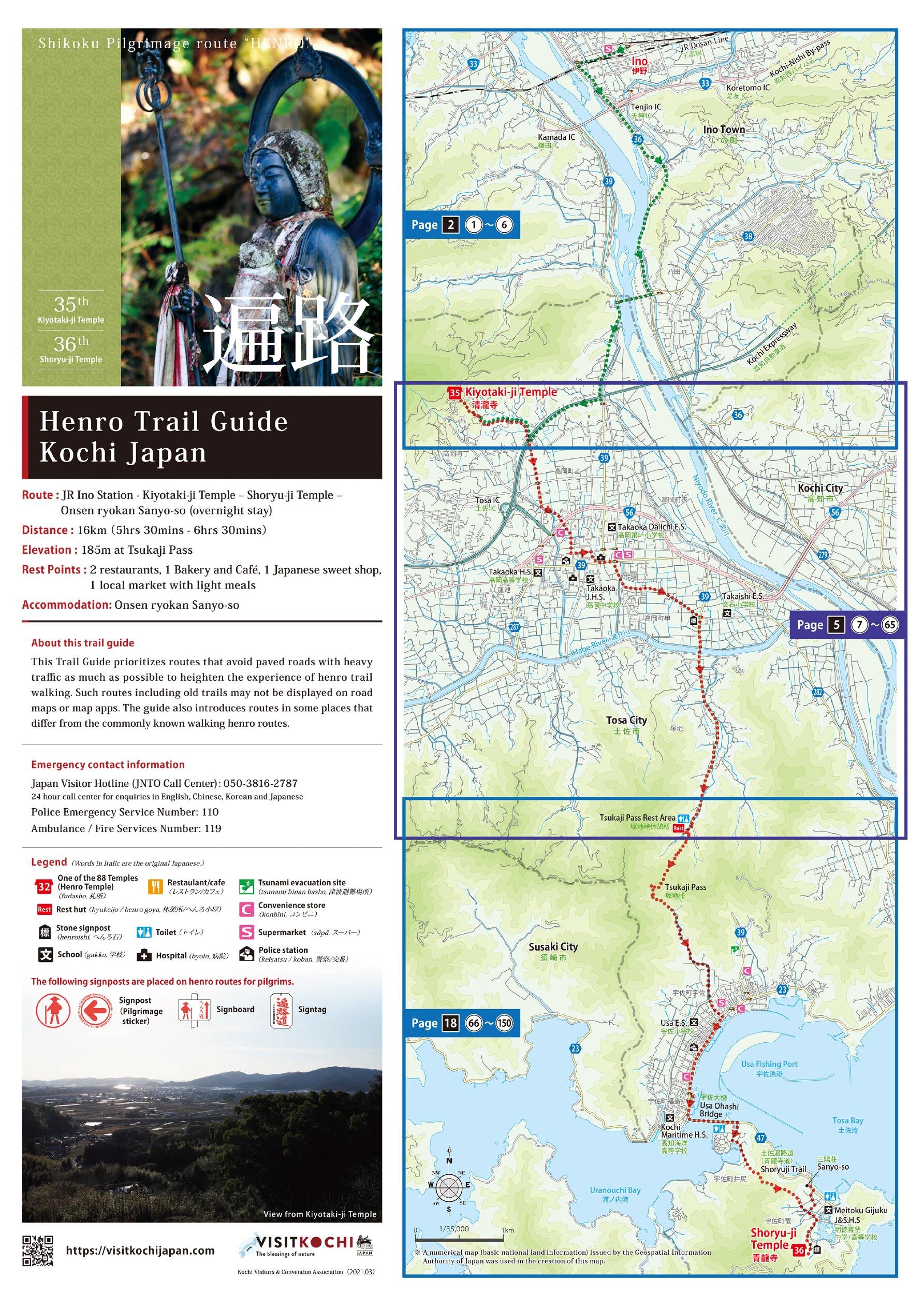
This is 1-day self-guided henro trail course for Kiyotaki-ji (35th temple) and Shoryu-ji (36th temple) .
Route: JR Kochi Station - JR Ino Station - Kiyotaki-ji Temple - Shoryu-ji Temple - Onsen ryokan Sanyo-so (overnight stay) - Kochi City
Distance: 16 km (5 hrs 30 mins - 6 hrs 30 mins)
Elevation: 185 m at Tsukaji Pass
●Kiyotaki-ji Temple (35th temple)
568-1 Takaokacho, Tosa City, Kochi, Japan【MAP】
●Shoryu-ji Temple(36th temple)
163 Ryu, Usa-cho, Tosa City, Kochi, Japan【MAP】
●Henro-Trail-Guide-Kochi-Japan_31-33 >>
●Henro-Trail-Guide-Kochi-Japan_37 >>
Kochi Visitors & Convention Association
TEL:+81-88-823-1434
VISIT KOCHI JAPAN English
- \VISIT KOCHI JAPAN/

こちらもおすすめ
-
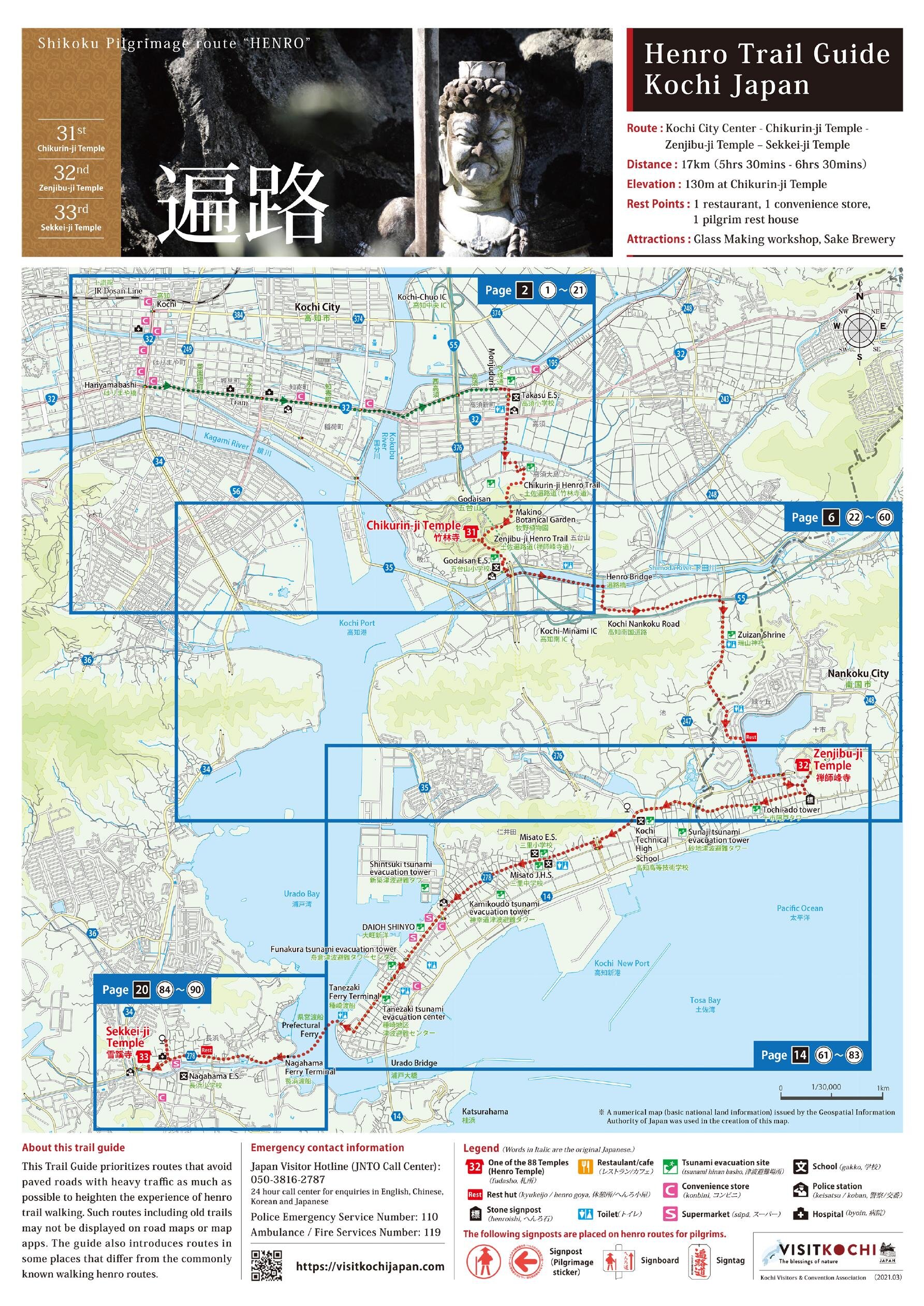
Henro-Trail-Guide-Kochi-Japan_31-33
Self-guided Henro Trail Walking (31st temple - 33rd temple)
-
Henro-Trail-Guide-Kochi-Japan_35-36
Self-guided Henro Trail Walking (35th temple - 36th temple)
-
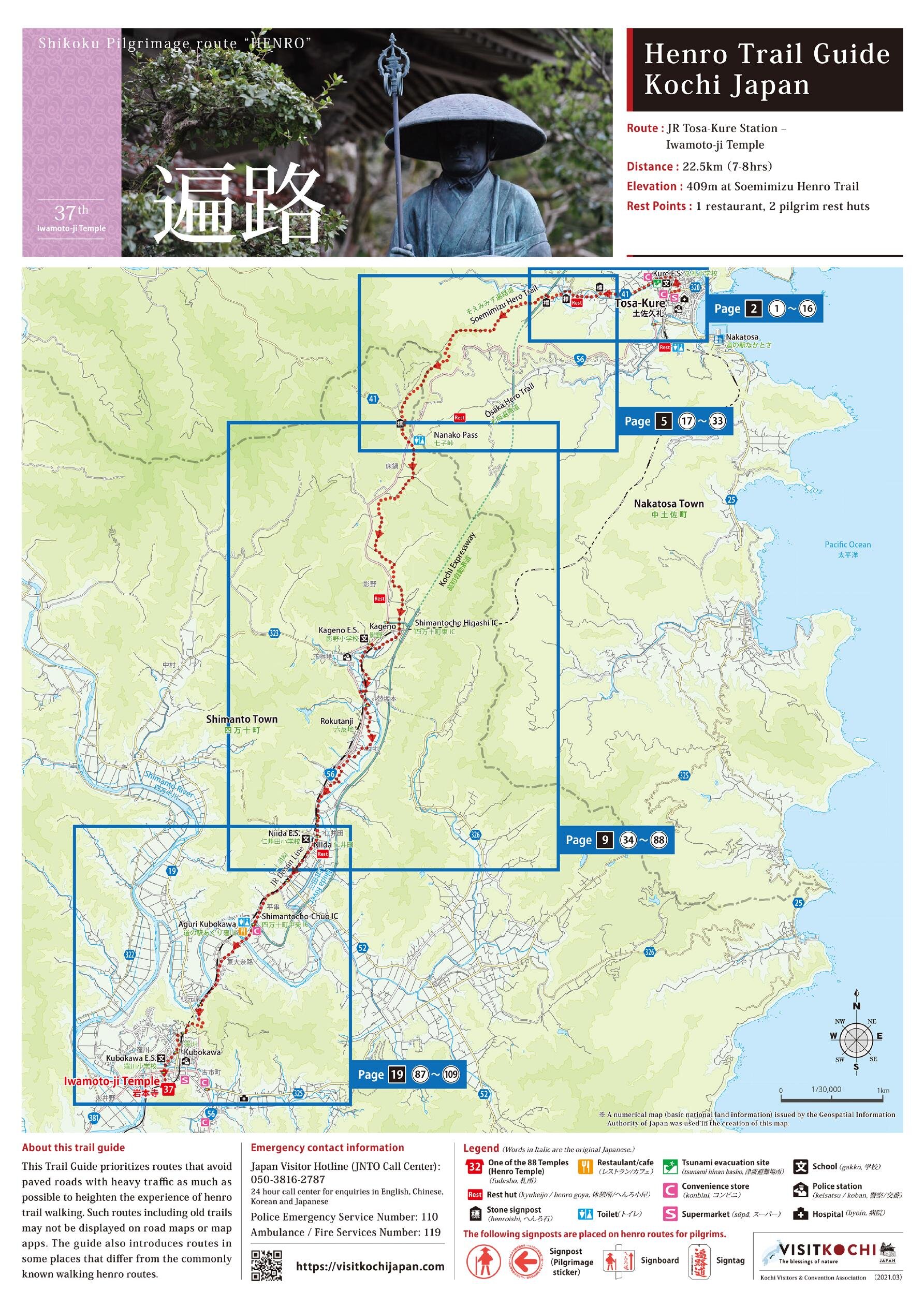
Henro-Trail-Guide-Kochi-Japan_37
Self-guided Henro Trail Walking (37th temple) Henro is the t
-
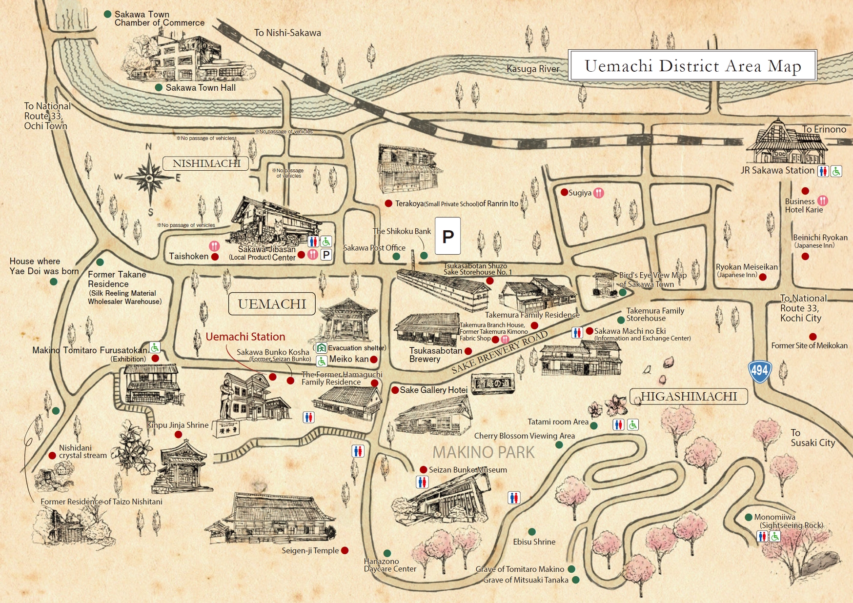
【Sakawa】Uemachi District Area Map
This is a walking map of the Uemachi area of Sakawa Town, where
-
祝・登録 文化庁 登録無形民俗文化財 高知県土佐市 技を継ぐ、文化を残す。 ■土佐節の製造技術 ■土佐節の歴史